
Machesney Park Neighbor Sources
A block search begins with land and public geography. It does not begin with a private household roster. WinGIS shows how parcels relate, the Assessor supplies a recorded owner or taxpayer, and local organizations describe a wider community. Each result answers a different question about Machesney Park neighbors.
| Source | What It Shows About a Block | Access |
|---|---|---|
| WinGIS | Adjacent polygons, streets, PIN popups, layers, and aerial context | Free online map; data request available |
| County Assessor | Parcel by street components, owner or taxpayer, and assessment year | Free online; repeat by parcel |
| County Recorder | Recorded parties and transfers tied to a parcel | Index, paid image service, counter, or mail |
| Citizenserve | Public permit, address, parcel, and inquiry categories | Portal, Village office, or FOIA |
| Parks Chamber | Public business, civic, and community organizations | Online member directory |
| Local-history desk | Historic neighborhood names, photos, oral histories, and groups | Library request or branch visit |
A parcel owner may live elsewhere, and a person who lives beside the parcel may not own it. The Recorder adds legal title events, not occupancy. Voter information is also a one-person match under state restrictions, not a way to download the block.
Map Machesney Park Neighbors
The official method is a parcel-browse exercise. Start from one known address and move only to the lots that the map shows nearby. Preserve the parcel identifiers and the kind of map relation before checking any name.
- Search the address in WinGIS and identify its parcel polygon. Note the street, PIN, and current boundary.
- Click parcels sharing a boundary, then check lots across the right-of-way. Record corner-touching parcels separately because that is not the same relation.
- Run each PIN or location through the Assessor. Compare the situs, which is the parcel's physical address, with the tax mailing address.
- Use the Recorder only if a deed or transfer matters. For an entire named road, switch to the Machesney Park street directory.
A cul-de-sac, condominium, railroad strip, floodplain, or large vacant tract can change which lot is truly next door. Map geometry should remain visible in the notes rather than flattening all nearby addresses into one kind of neighbor.
Machesney Park Parcels Need Context
The Assessor search accepts four PIN parts, or the parcel-location fields Number, Direction, Street, and Suffix. It also accepts owner last and first name. Historical assessment years reach through 2003. Those fields make it possible to move from nearby map polygons to a consistent public record without guessing from a street label.
A PIN is a parcel identification number. It keys the tax and assessment record, but it is not a household number. The result may show a taxpayer, alternate parcel number, value fields, exemptions, and links back to WinGIS. A mailing address different from the situs is common and does not settle where the owner lives.
The Recorder can connect a PIN or legal description to a grantor and grantee. A legal description defines land in recording terms, such as a subdivision and lot. DirectSearch is limited and has no images, Tapestry is paid, Laredo uses a subscription, and public stations are available at the Recorder's Rockford office. None of those channels lists all occupants.
Note: Save both the PIN and address because neighboring parcels may share a road label while using different legal descriptions or mailing details.
Machesney Park Block Boundaries
Road and water features shape the local meaning of “nearby.” The County Highway jurisdiction map distinguishes municipal, county, state, and township roads. Machesney Park municipal-road questions route to the Village at 815-877-5432. Public works files, contracts, and road notices may explain a change that is not clear on the parcel roll.
The Rock River, Willow Creek, and unnamed tributaries add floodplain and permit context. Two adjacent parcels can have different flood-review histories. The Village may hold a fence, driveway, floodplain, public-works, or other address-linked permit through Citizenserve, but a permit applicant is not automatically a resident.
WinGIS also lists a 1939 Historic Aerials layer. Compare it with current parcels to see old road or lot patterns near Machesney Park neighbors. An aerial can suggest that the landscape changed, but it cannot prove ownership or an exact old street number. Confirm the clue in plats, deeds, atlases, or newspapers.
Machesney Park Community Directory
No official comprehensive HOA or neighborhood-association roster was found for Machesney Park. Village guidance says an HOA is private and self-governing, and the Village does not manage it. A private member list or covenant file must not be presented as a municipal resident record.
Parks Chamber
100 Heart Boulevard, Loves Park
815-633-3999
Public umbrella directory for business, municipal, and community members. It is not a household list.
Harlem Community Center
900 Roosevelt Road, Machesney Park
815-633-5817
Public programs and events across Machesney Park and nearby communities. No member directory is published.
NSLD Local History
Loves Park and Roscoe branches
Historic neighborhood names, photos, oral histories, and organization references through staff requests.
The Parks Chamber result page shows the Village among its public organization entries.
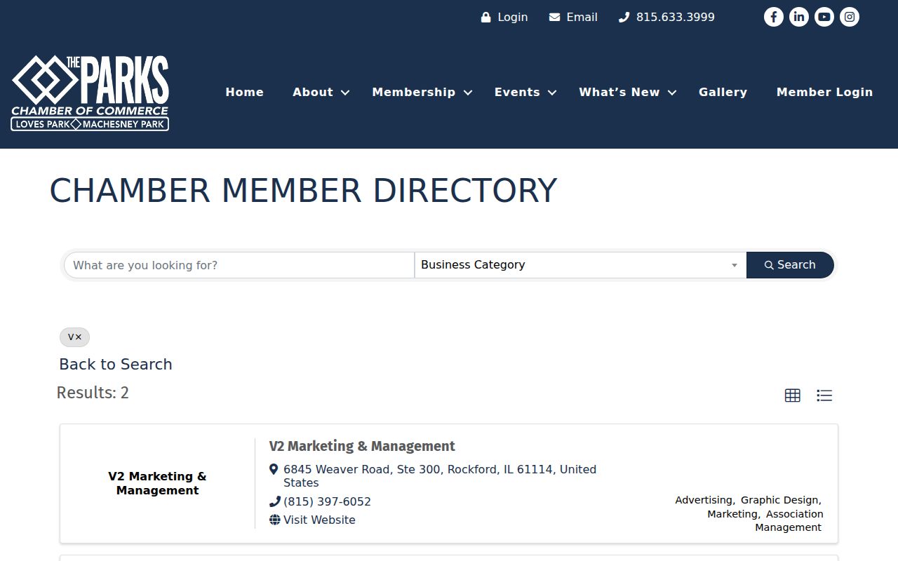
The directory supplies a public contact layer for the community, not the names of Machesney Park neighbors or private members.
Machesney Park Election Context
The Illinois voter lookup requires first name, last name, birth date, five-digit ZIP, street number, and a dynamic street-name choice. It tests one registration match. State rules bar treating voter data as a public list for intimidation, threats, deception, solicitation, or marketing.
The Winnebago County Clerk election page is the local route for election dates, registration forms, and vote-by-mail information.
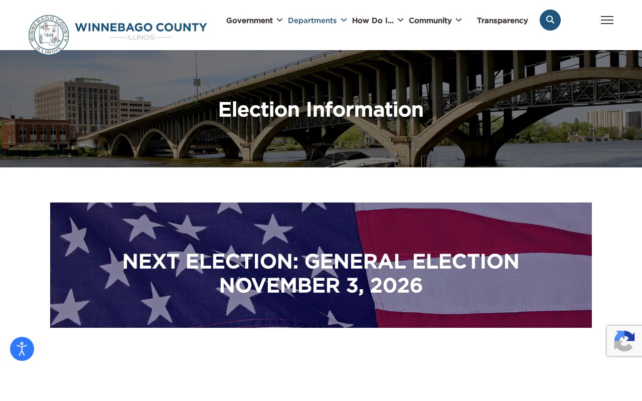
Use it for election administration and an individual registration question, not to build a public list by street.
Machesney Park Neighbor Tool Differences
Official rolls and commercial neighbor tools may display similar-looking names, but they do not carry the same authority. A useful block search keeps the original source and its date in view.
| Source Type | Strength | Limit |
|---|---|---|
| Official parcel and assessment roll | Named custodian, PIN, year, and correction route | Owner or taxpayer, not every occupant |
| Official map | Parcel shape, roads, layers, and adjacent lots | No social relationship or person roster |
| Community organization page | Public contact and service geography | No private membership data |
| Commercial neighbor tool | May combine many sources quickly | Stale addresses, mixed names, unclear dates, and paid results |
Verify any commercial lead with the Assessor, Recorder, Village, Clerk, or library. Do not publish a combined profile simply because several databases appear to point toward one address.
Machesney Park Safety Records
Safety concerns require the right agency, not direct contact with a person found online. The Sheriff's public warrant page did not expose a verified live name roster during research. Its official information page is shown below.
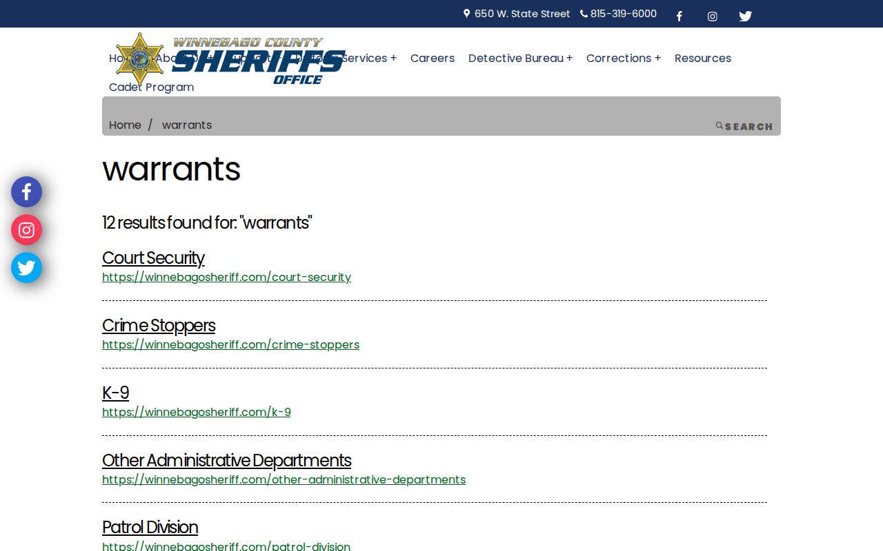
Do not turn a site-search result or old notice into a claim about a neighbor. Verify a court disposition with the Circuit Clerk.
For a public agency record, the Sheriff's online FOIA form accepts requester contact fields, a records description, delivery choice, and commercial-purpose declaration.
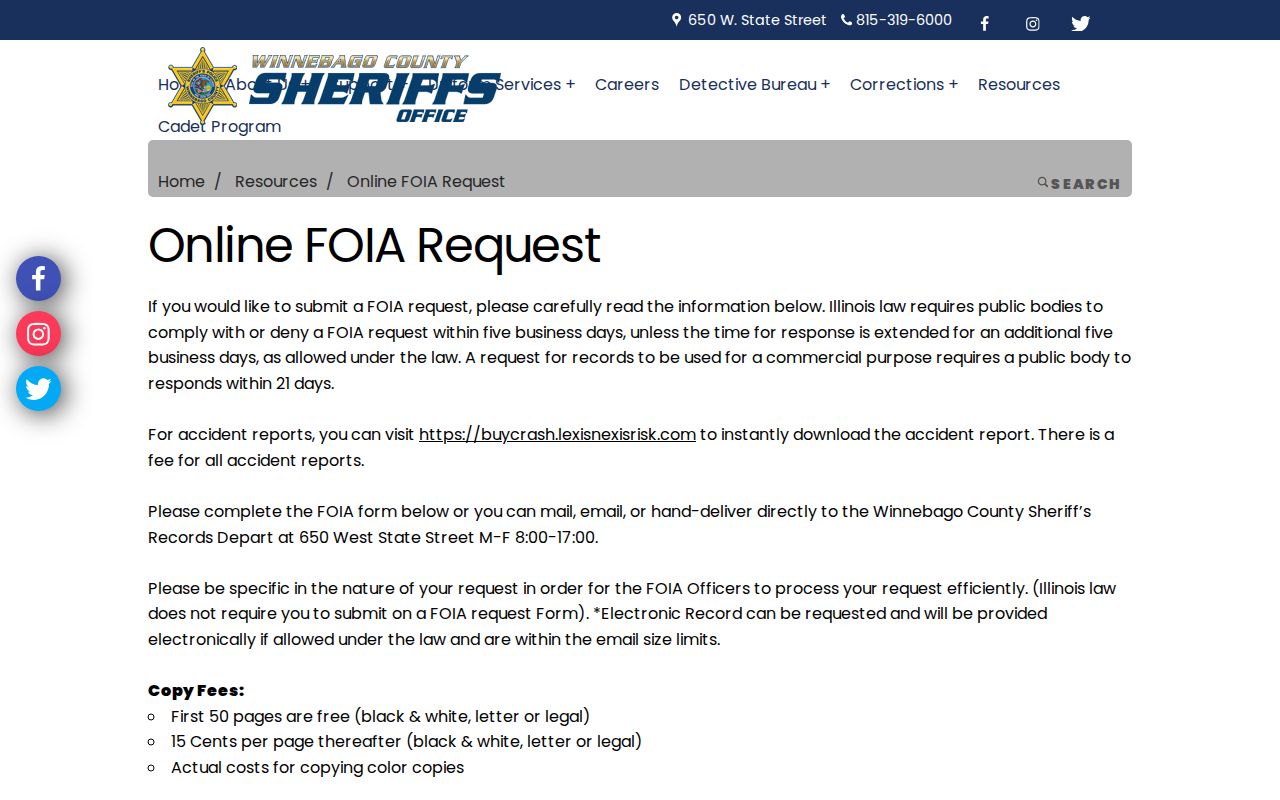
Ask for a narrow, agency-held record. The Sheriff's ordinary response track is five business days with a possible extension, and exemptions or redactions still apply.
Historic Machesney Park Neighbors
Machesney Park incorporated in 1981, and older material may call the area North Park, Harlem Township, or Rockford-area. The village name came from the former Machesney “Rockford” Airport. Those variants matter when a modern address or community name disappears from an old search.
The North Suburban Library District collects city directories, plats, atlases, newspapers, yearbooks, oral histories, photographs, and documents for Machesney Park and nearby communities. Its request form asks for a name, email, and question and allows seven days. Ask for an approximate year, road, historic place name, and source type.
A historic directory or newspaper can place a household on a dated block, but it cannot describe the block today. Pair the citation with an old plat or aerial, then use the current parcel map only to understand how the land changed.
Note: Regional service areas and archive labels cross village lines, so preserve the source's place name instead of silently changing it.
Respect Machesney Park Neighbors
Property maps do not reveal renters, household members, utility customers, delivery data, private association members, or DMV addresses. The Address Confidentiality Program may replace an eligible person's address in new government records. It cannot erase every older public instrument, but it is a firm reason not to fill gaps through invasive matching.
When a source is wrong, contact its custodian. The Assessor handles assessment data, the Recorder handles recorded instruments, the Clerk controls voter information, and a private group controls its own roster. A library or general search engine cannot correct those originals.
Lawful use. Learn about Machesney Park neighbors for civic interest, reconnection, or personal safety. Never watch, threaten, intimidate, publish, or harass a person based on these records.